When we think of “natural disasters,” we’re often tempted to understand them as forces beyond our control. Hurricanes, floods, wildfires, and other catastrophes might seem like they are environmental hazards which are tragic but unavoidable. However, risk and vulnerability to environmental crises are not shared equally by all people. When disaster strikes, the people who have been left with the fewest resources face the most catastrophic consequences. As climate change accelerates environmental instability and drives future “natural” disasters, the people and places most at risk will be the same ones where historic patterns of exclusion have created disasters waiting to happen.
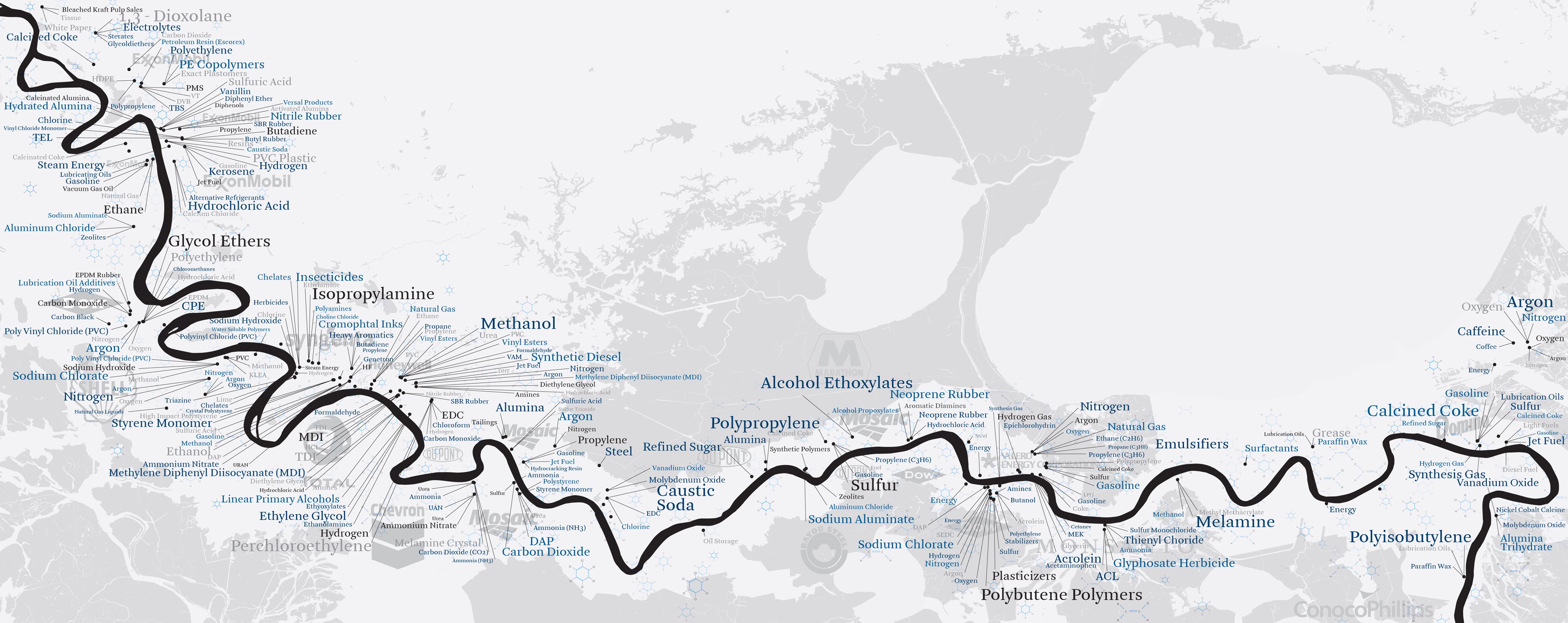
Richard Misrach; Kate Orff; Aperture Foundation
2012
Norman B. Leventhal Map & Education Center
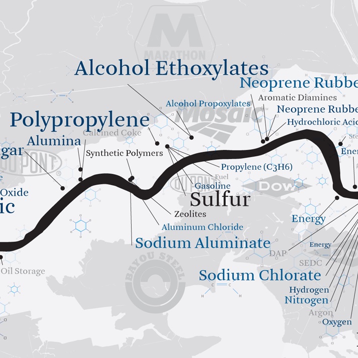
As the Mississippi River runs into the Gulf of Mexico, it forms a unique ecological system, on top of which sits one of the most diverse and creative culture regions in the United States. Yet this same area is also highly vulnerable to environmental hazards, with the 2005 Hurricane Katrina disaster the most tragic recent example of extreme weather-related tragedy. While Louisiana’s geography risk is partly determined by its physical geography, the real patterns of exposure and harm are governed by social and economic forces, which in turn bear witness to racism and other forms of marginalization. These maps and images appear in Petrochemical America, a collaboration between the photographer Richard Misrach and the landscape architect Kate Orff. They focus on the lower Mississippi River’s infamous “Cancer Alley,” where a concentration of petrochemical facilities has created a particularly hazardous combination of human and environmental forces. While Petrochemical America focuses on Louisiana, the book’s message is about a global system of human landscapes that are oftentimes dangerous by design.
Figure A-1 in Toxic Wastes and Race in the United States
United Church of Christ Commission for Racial Justice
1987
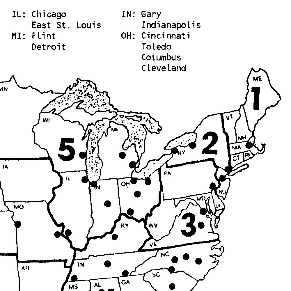
This map appeared in an influential 1987 report that was one of the first detailed investigations into the spatial relationship between race and environmental harm in the United States. It shows metropolitan areas in the United States where there are many Black communities living in close proximity to toxic sites. Notice Baton Rouge and New Orleans in “Cancer Alley”—as well as Boston.


