
November 25, 2024

The end of November is an opportunity for our team at the Leventhal Center to pause and reflect on just how much we’ve been doing lately. In the past week alone, we hosted a major national convening of digital humanities organizations to discuss the Allmaps project, welcomed educators from around the country gathered in Boston for the National Council for the Social Studies conference, and collaborated with our colleagues on the American Revolutionary Geographies Online project. All of that’s happening while we continue to welcome hundreds of visitors each week to our gallery exhibition Processing Place, support digital research projects from the community, bring new maps into the library collections, and more. We couldn’t do this work without you, and, as we enter the holiday season, perhaps you’ll consider supporting our work with a gift. Our work, and your support of it, lays the foundation for many future generations of learning, collaboration, and discovery.
Garret Dash Nelson, President and Head Curator
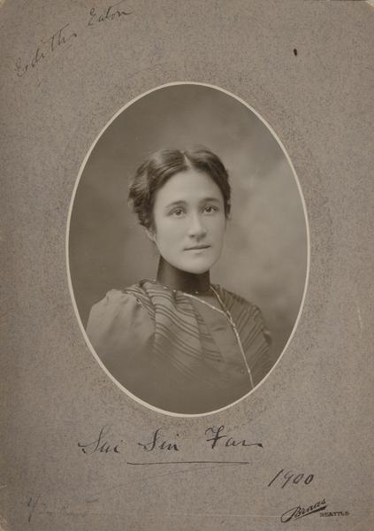
Afro-Asian Diaspora and the Eaton Sisters
In a new digital essay by Savita Maharaj supported by the the Leventhal Center’s Small Grants for Early Career Digital Publications program, the story of a pair of boundary-crossing sisters comes alive on a map. Documenting the places and spaces where the Eaton sisters lived and wrote, Maharaj’s essay explores the sisters’ connection to the African and Asian spaces they inhabited, and how their work took inspiration from the geographies of their experiences as mixed-race Asian women in the in the late nineteenth century.
Virtual: Putting Family History on the Map · December 11, 6 pm ET
Join Julia Williams, Gallery & Communications Coordinator at the Leventhal Map & Education Center, together with BPL Research Services to discuss the use of historic maps for genealogical research. Julia has experience working with New England Historical Genealogical Society as a genealogist on 10 Million Names, a project aimed at recovering the names of the estimated ten million men, women, and children of African descent who were enslaved in pre- and post-colonial America. She will also provide a demo of Atlascope, which overlays historic and modern maps so you can easily compare past and present.

A Local Connection to Computer Graphics History
If you’ve had a chance to see our current exhibition Processing Place, you might have noticed the early maps made using overprinted typewriter characters. In a recent article for the Harvard Graduate School of Design, A. Krista Sykes delves into the history of Harvard’s Laboratory for Computer Graphics and Spatial Analysis, which created the early software that made these typewritten maps. As Sykes writes, “…this multidisciplinary research group developed programs for automated mapping and spatial analysis that changed the ways we understand and create the world around us, from forecasting the weather to designing buildings.” The article builds on research using primary sources in the Loeb Library Special Collections at the Graduate School of Design.
Gallery Feature: November “From the Vault” Roundup
In November, we hosted two From The Vault events: Indigenous Geographies, curated in partnership with the Supporting Indigenous Communities Fellow at the Mayor’s Office of New Urban Mechanics, and Doing More with Maps, a feature for the National Council for Social Studies Conference. These events asked our visitors to think deeper about each map’s purpose and we invite you to ask and answer these same questions in these roundup articles.
Newsletter Trivia: Park Recreation
It’s time to test your map and history knowledge to win a chance of receiving three free months in our Map Of The Month Club. In order to enter, make sure you follow us on Instagram or Facebook and direct message or email us the answer to the following question. We’ll accept answers until December 2 at 9 am ET. Correct answers will be included in a random drawing—the winner will receive the next three Map of the Month club postcards for free. Congratulations to our last winner, Nancy!
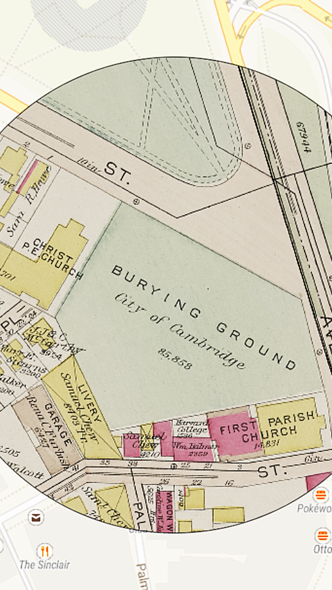
As public parks increased in popularity in the late 1890s and early 1900s, along with playgrounds for children, this type of feature was installed in many of Boston’s larger parks for the benefit of adults, often with individual women’s and men’s facilities. In this 1917 atlas of the Charles River Esplanade, what was this type of feature, as circled in the image?
- Gymnastic grounds
- Roller skating rinks
- Horse tracks
- Swimming pools
The answer to the question of what was the original name of the single street going down the “Boston Neck” was Orange Street.

Happy Holidays from the LMEC!
This holiday season, shop for all of the history, geography, and cartographic lovers in your life in the Leventhal Map & Education Center online gift shop. With four new maps added to the shop, there’s something new for everyone! With everything from postcards and exhibition catalogs to frame quality maps, use the code LMECHOLIDAY for 15% off your total order.
The Leventhal Map & Education Center is an independent nonprofit. We rely on the contributions of donors like you to support our mission of preserving the past and advancing the future of maps and geography.
View this email in your browser
Leventhal Map & Education Center at the Boston Public Library
617.859.2387 · info@leventhalmap.org
{{SenderInfoLine}}