
December 18, 2023

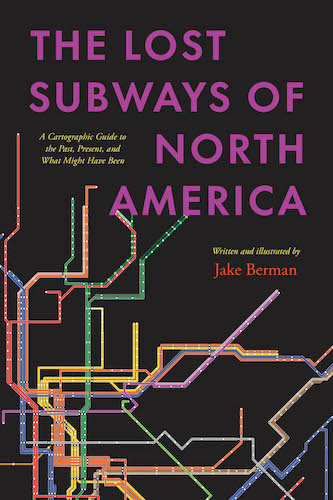
In Person: Jake Berman on The Lost Subways of North America · December 20, 6:00 pm ET
Can you imagine the would-be subway systems of Cincinnati, Houston, Miami, or Richmond? In this talk, cartographer and artist Jake Berman will talk about his new book, The Lost Subways of North America: A Cartographic Guide to the Past, Present, and What Might Have Been. Using meticulous archival research, Berman has successfully plotted maps of old train networks covering 23 North American cities, ranging from New York City’s Civil War-era plan for a steam-powered subway under Fifth Avenue to the ultramodern automated Vancouver SkyTrain and the thousand-mile electric railway system of prewar Los Angeles. He will explore colorful maps of old, often forgotten streetcar lines, lost ideas for never-built transit, and modern rail systems—drawing us into the captivating transit histories of US and Canadian cities.
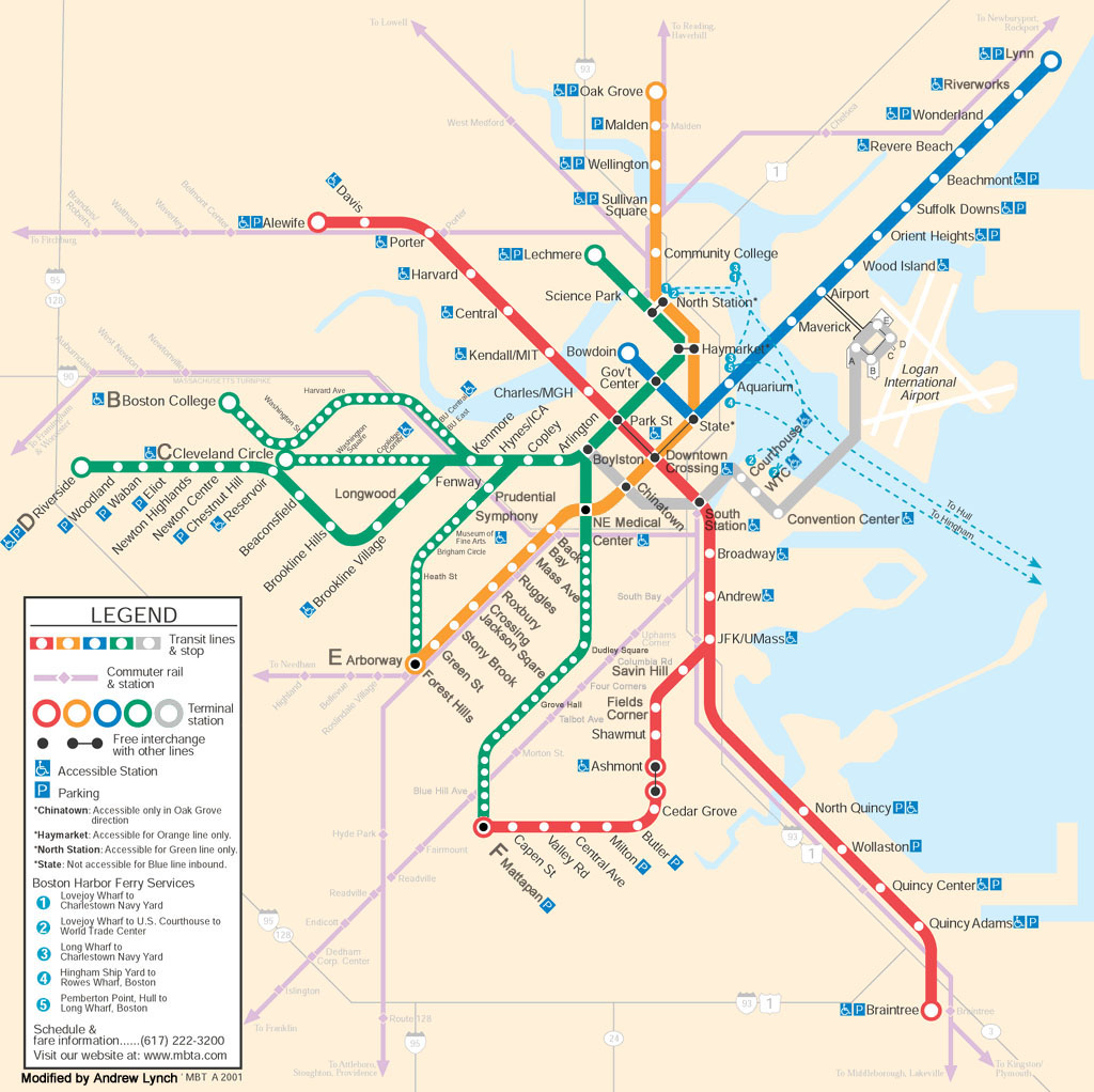
Final Call: Transportation Dreams Cartography Challenge Closes Dec 19 at 5pm ET
Do you ever dream of a very different map of Boston’s transportation system? As part of the Leventhal Center’s Cartography Challenges program, we’re looking for speculative maps of transit in the Boston region. From the unreal to the unrealized, we want to see what you can dream up. The winning submission will be awarded $250 and the creator will have the opportunity to have their work displayed in our digital collections. Reach out to Ian Spangler with questions.
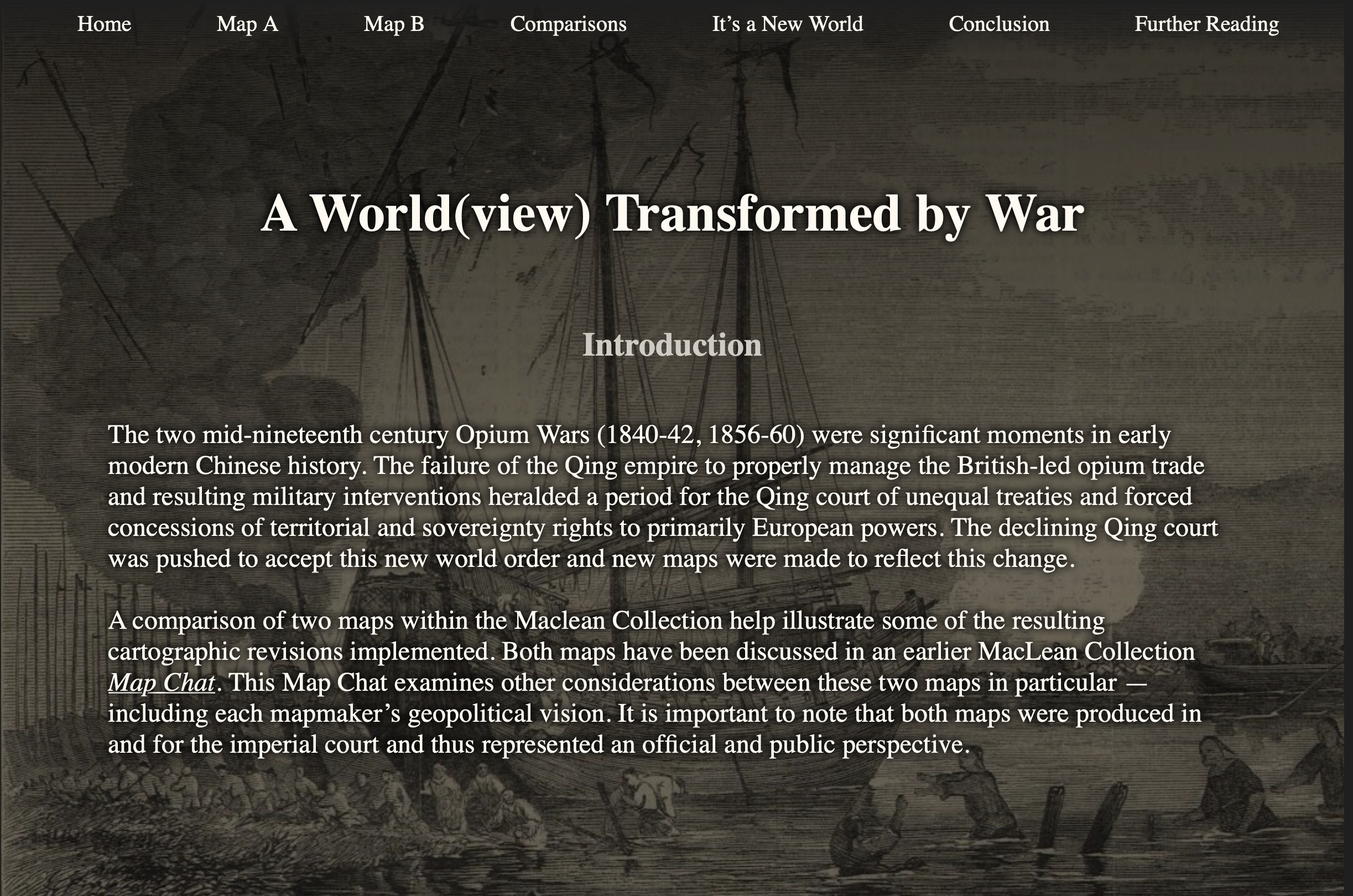
A World(view) Transformed by War
Are you eagerly awaiting the opening of our next exhibition Heaven & Earth: The Blue Maps of China? If so, this Map Chat from scholar Amberly Yeo should be your next read. This digital interactive compares two maps from the MacLean Collection to examine how the Qing Empire was forced to reconceptualize its depictions of territory, geography, and sovereignty in the wake of the nineteenth-century Opium Wars.
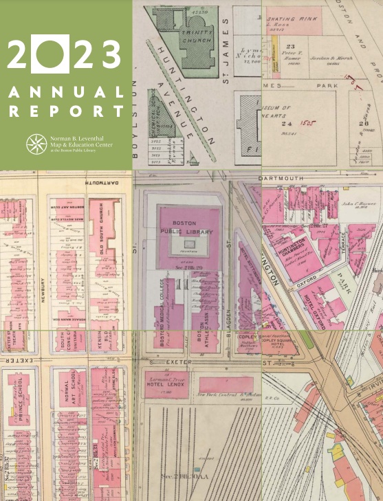
2023 Annual Report
It’s that time of the year—our annual report is due to hit mailboxes soon! If you supported us last year, you should be getting a copy by postal mail. But you can also read it online now. Bonus points if you recognize the color scheme inspired by a certain 1938 atlas…
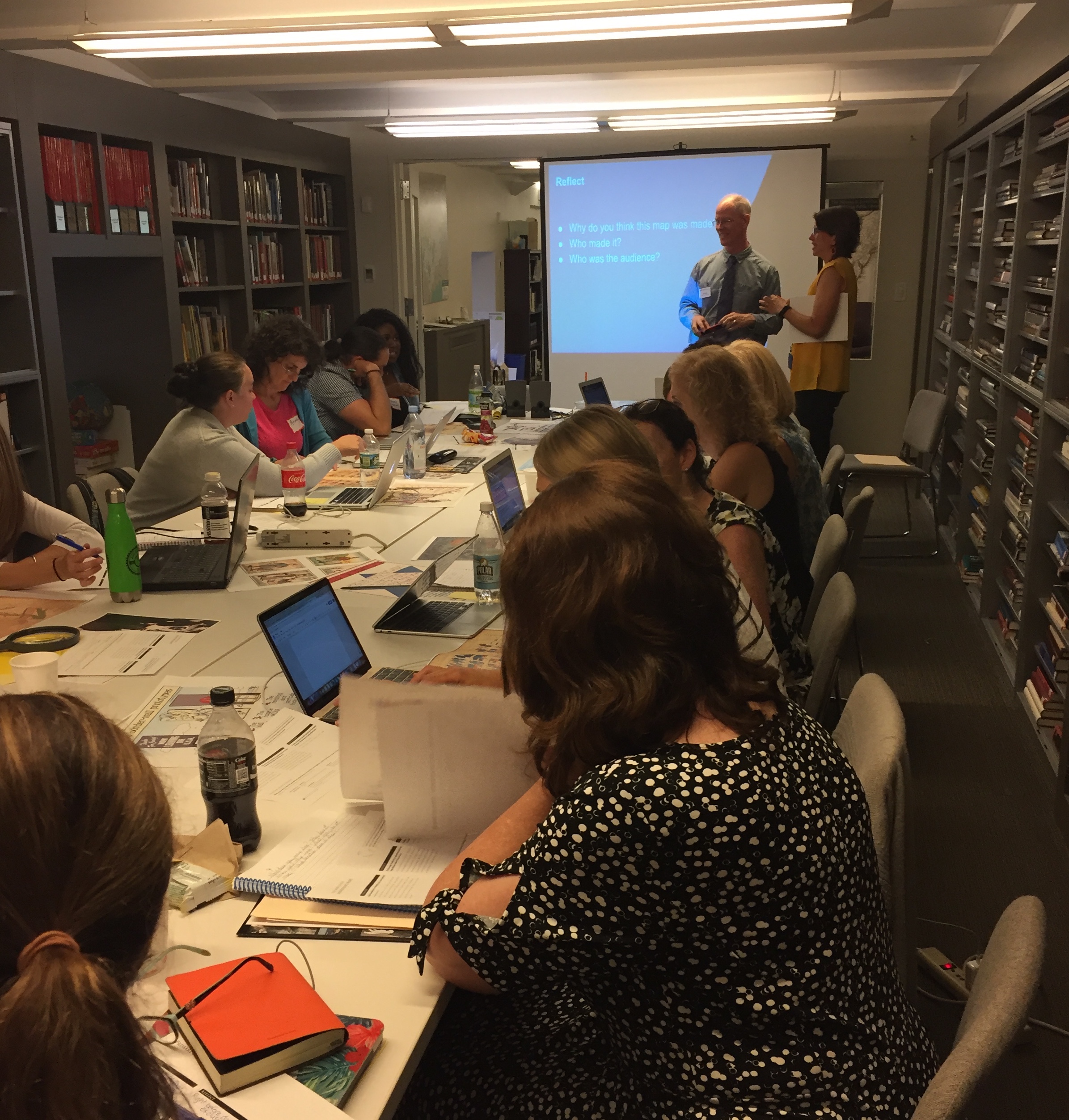
Teachers: Join us for a 2024 Summer Institute
In partnership with the Osher Map Library and Smith Center for Cartographic Education, next summer we will welcome 25 educators (grades 3-12) to Portland, Maine, and Boston, Massachusetts, from July 14 to July 26, 2024 for the NEH Summer Institute “Teaching With Maps: Community and Resilience in Maritime New England.” Teachers will explore how maps and landscapes reflect, erase, obscure, and celebrate Black and Indigenous geographies and histories along New England’s maritime coast. Participants receive a $2,200 stipend for participating in the two-week program.

Help us innovate for the future
In this season of giving, we’re grateful for our community of friends and map lovers. If you appreciate all that we’ve accomplished in our Annual Report above, and you’d like to help support new and innovative projects in 2024, please consider giving a donation of any size. From public programs and engaging exhibitions to teacher workshops and historical research, we offer our resources free to all, so we are reliant on you—people that care about maps, geography, and history—to sustain our work.
The Leventhal Map & Education Center is an independent nonprofit. We rely on the contributions of donors like you to support our mission of preserving the past and advancing the future of maps and geography.
View this email in your browser
Leventhal Map & Education Center at the Boston Public Library
617.859.2387 · info@leventhalmap.org
{{SenderInfoLine}}