
November 27, 2023

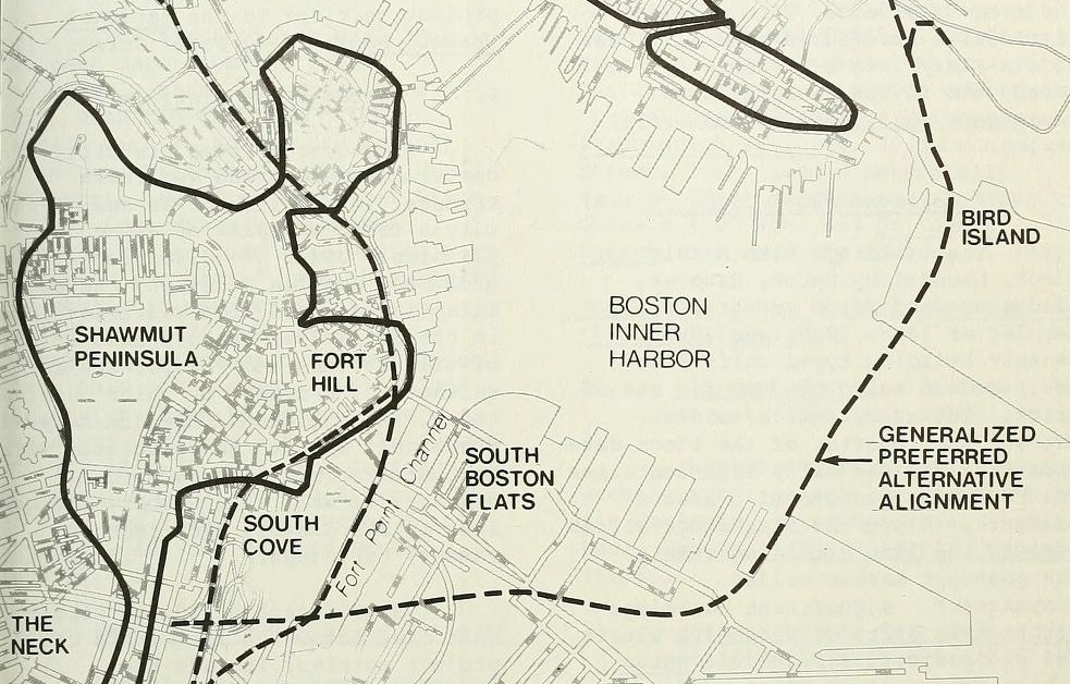
A drawer full of transportation maps is an invitation to dream about what cities were like in the past—and also what they could have been like if we’d done things differently. Many of these maps weren’t made with future historians in mind: they were workaday documents in the hands of engineers, planners, and of course millions of subway riders, pedestrians, bicyclists, and drivers. Whether you come explore maps of the Big Dig with us this Friday or fantasize about the North American subway maps that might have been later this month, you’ll see how these maps invite us into a conversation that crosses decades.
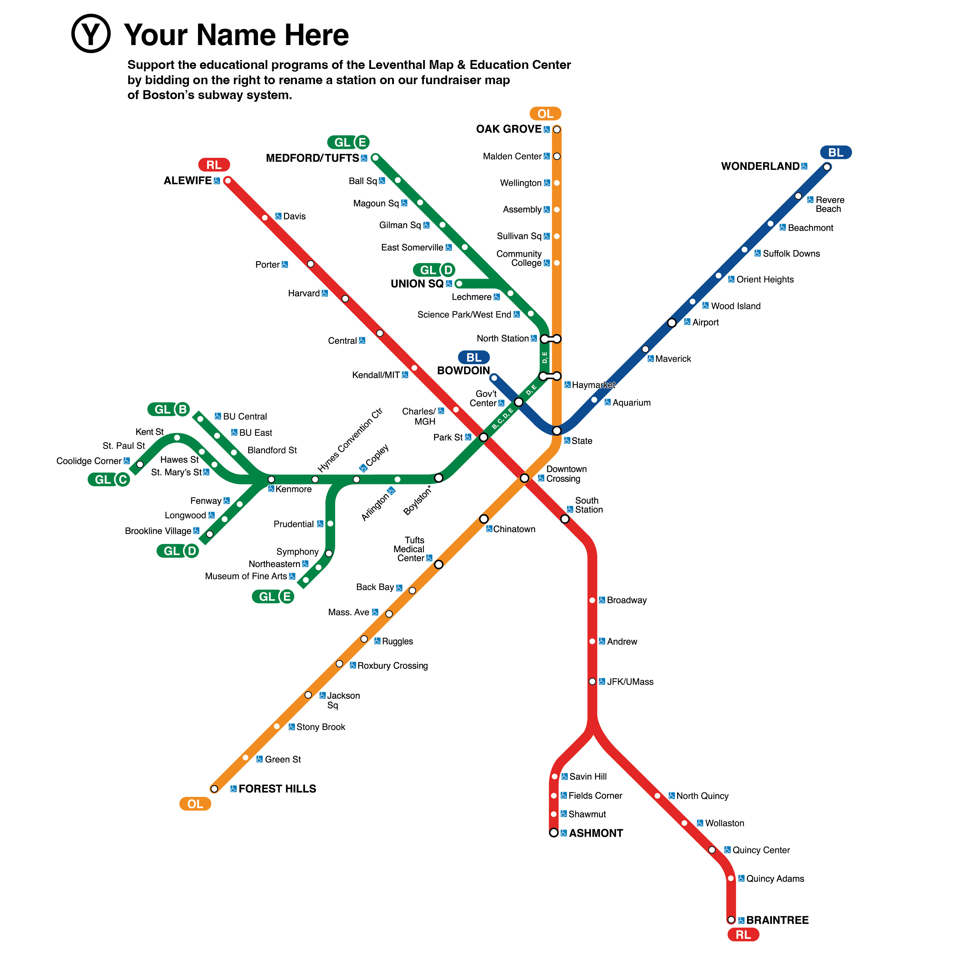
Today is also your chance to put your own name in our map collections. We’re creating a community-funded, creatively-named remix of the Boston subway map to support our free public programs on public transit. With bids starting at just $5, you have a chance to put your own creative spin on a map that perhaps historians will look at a century from now as they look back on the transportation dreams of the 2020s. What station will you name?
In Person: From the Vault – The Big Dig · December 1, 2:00 pm ET
Have you been listening to GBH’s The Big Dig podcast? Have you noticed how many times the podcast refers to maps of all kinds? Do you want to look at the documents behind the Big Dig—both the maps that made the project happen as well as maps showing possibilities that never came to be? Join us for a From the Vault collections showing with Ian Coss and Isabel Hibbard, the producers of The Big Dig podcast and dive into understanding these past transportation decisions through maps.
Last Chance to Re-Name Your Subway Station
Tomorrow is Giving Tuesday, and your last chance to support our work by re-naming your favorite (or most-hated!) T station! Our current fundraising auction encourages YOU to re-imagine what Boston’s subway map might look like. Claim your station today by placing a $5 or $10 bid. Winners not only get to name their station, but receive a copy of the final map—which will also hang in our gallery and live in our digital collections.
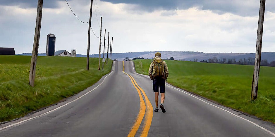
Virtual: Neil King Jr. on American Ramble: A Walk of Memory and Renewal · December 12, 6:00 pm ET
Author Neil King discusses his revelatory memoir, which traces his 330-mile walk from Washington, D.C., to New York City—an unforgettable pilgrimage to the heart of America across some of our oldest common ground. Please note that this event is no longer in person, and is now in a virtual-only format. This event is in partnership with with BPL Adult Programs and the American Inspiration Series from American Ancestors/NEHGS.
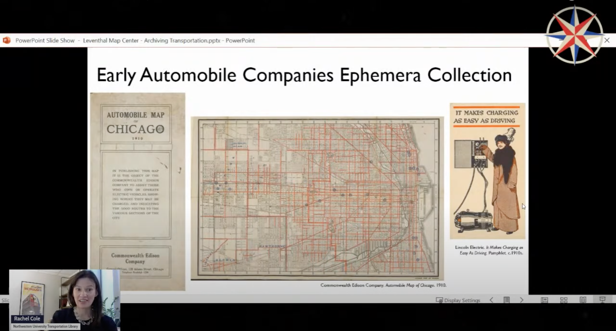
In Case You Missed It: Rachel Cole Event
Did you miss our virtual event with Rachel Cole from Northwestern University’s Transportation Library? No worries—the recording of Archiving the Past and Present of Transportation is up on our Youtube and Facebook pages for your viewing indefinitely, along with all our past virtual events.

Transportation Dreams Cartography Challenge
Do you ever dream of a different transportation system? As part of the Leventhal Center’s Cartography Challenges program, we’re looking for speculative maps of transit in Boston. From the unreal to the unrealized, we want to see what you can dream up. The winning submission will be awarded $250 and the opportunity to have their work displayed in LMEC’s digital collections. Reach out to Ian Spangler with questions.
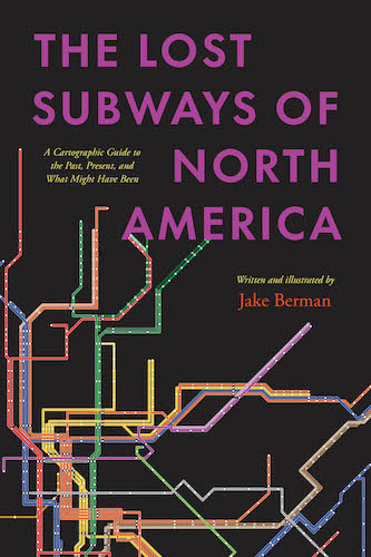
In Person: Jake Berman on The Lost Subways of North America · December 20, 6:00 pm ET
Curious about the would-be subways systems of Cincinnati, Houston, Miami, or Richmond? In this talk, cartographer and artist Jake Berman will talk about his new book, The Lost Subways of North America: A Cartographic Guide to the Past, Present, and What Might Have Been. Using meticulous archival research, Berman has successfully plotted maps of old train networks covering 23 North American metropolises, ranging from New York City’s Civil War–era plan for a steam-powered subway under Fifth Avenue to the ultramodern automated Vancouver SkyTrain and the thousand-mile electric railway system of pre–World War II Los Angeles. He will explore colorful maps of old, often forgotten streetcar lines, lost ideas for never-built transit, and modern rail systems—drawing us into the captivating transit histories of US and Canadian cities.
The Leventhal Map & Education Center is an independent nonprofit. We rely on the contributions of donors like you to support our mission of preserving the past and advancing the future of maps and geography.
View this email in your browser
Leventhal Map & Education Center at the Boston Public Library
617.859.2387 · info@leventhalmap.org
{{SenderInfoLine}}