
October 31, 2023

Improved Features for Georeferencing in LMEC Digital Collections
New features in the Leventhal Map & Education Center’s digital collections portal now make it easier than ever to work with georeferenced maps. Thanks to Allmaps—a free, open-source georeferencing platform for the modern web—you can now engage with georeferenced maps like never before and continue improving our georeferencing data. We’re working to put Allmaps in the hands of map collections around the world, and our digital collections portal is the very first to feature built-in Allmaps integrations.
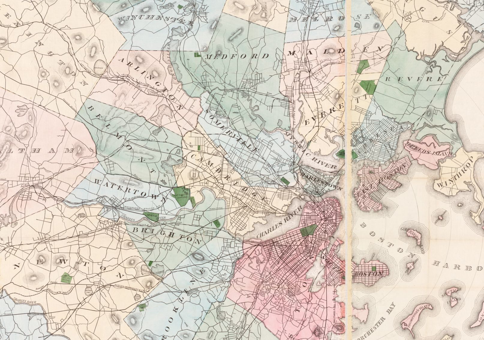
Call for Cartographers: Transportation Dreams
Applications are now open for the Leventhal Center’s second Cartography Challenge. In this round, we’re looking for speculative or imaginary maps of transit in Boston. From the unreal to the unrealized, we want to see what you can dream up. Anything is on the table, so long as whatever you map doesn’t exist right now! Accepting applications now through December 19, 2023.
Now Open: Spring 2024 Undergraduate Internships
Hey undergrads, we want to work with you! We’re looking to hire a spring semester cohort of undergraduate interns focused on Geohumanities & GIS. Interns will learn how to use different kinds of geospatial software and conduct independent research around twentieth century atlases, as well as serve at the front desk of our public gallery. Internships are paid and require a commitment of 6–10 hours per week. Applications are due November 15, 2023, by 3:00 pm ET.

In Person: Boston Transit Trivia · November 1, 6:00 pm ET
Join us in the Central Library’s Newsfeed Café on Wednesday evening to test your knowledge on the history of Boston’s trains, rails, routes, streets, and stations. Participant can play as an individual or as a team, and drinks and snacks are available for purchase. Presented as part of our ongoing exhibition, Getting Around Town: Four Centuries of Mapping Boston in Transit.
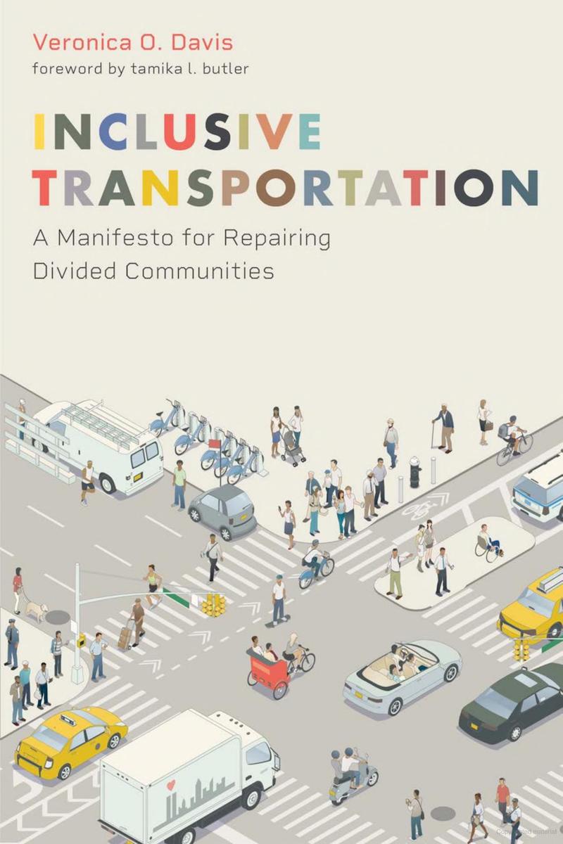
In Case You Missed It: Veronica O. Davis on Inclusive Transportation
Last Tuesday, Assistant Director Emily Bowe spoke with Veronica O. Davis, a civil engineer, urban planner, transportation nerd, and author of Inclusive Transportation: A Manifesto for Repairing Divided Communities. Davis used maps to show the inequitable and often destructive practice of transportation planning while offering principles for how to build a more inclusive system in the future.
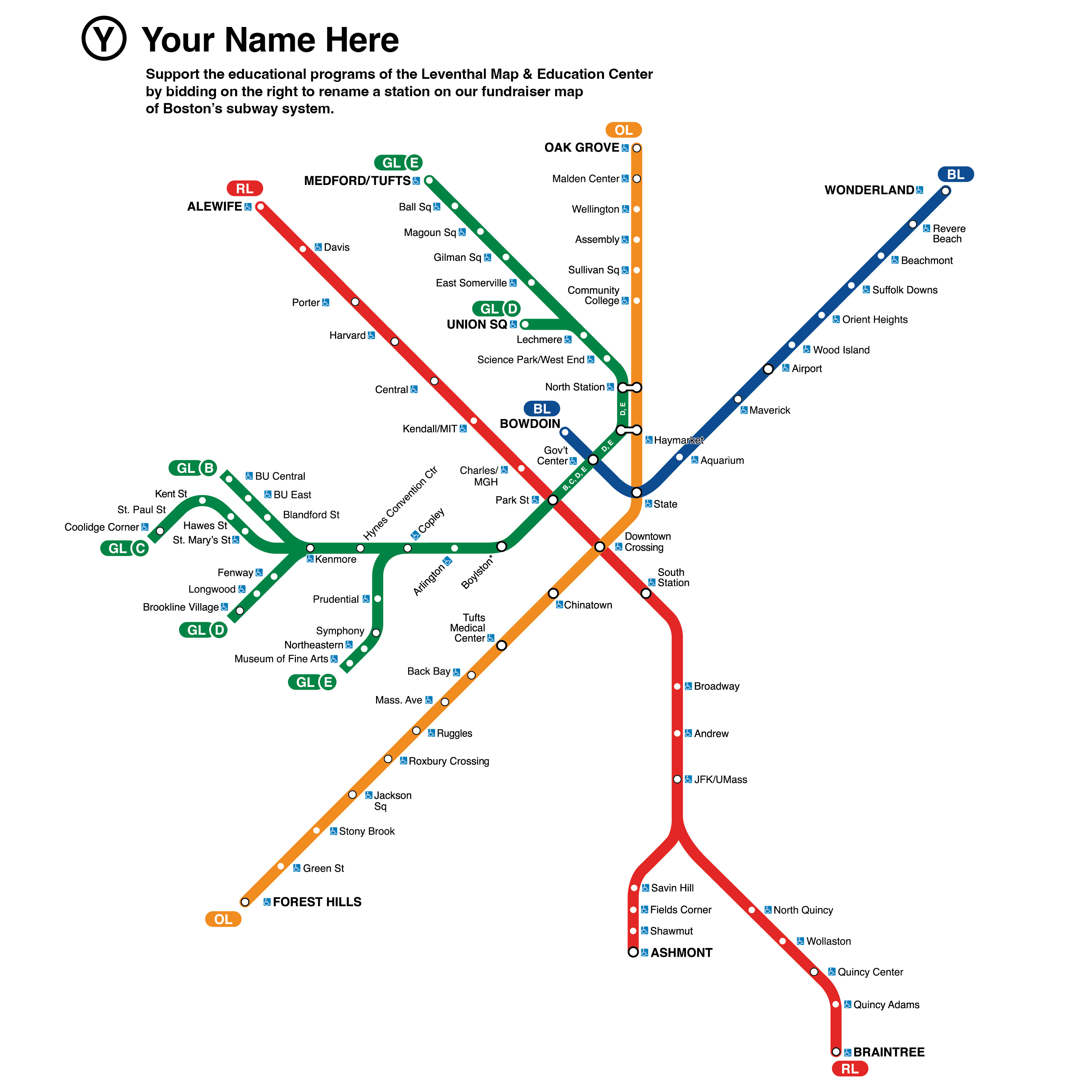
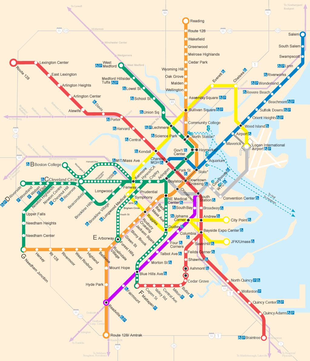
Help Us "Rename" the Map of Boston’s Subway System
The names of the stations on the map of the T are iconic landmarks of Boston’s geography. But have you ever thought you could come up with more interesting names? In the month of November, we’re asking you to help us pick newly imagined station names through a fundraising auction. Get started by placing a $5 or $10 re-naming bid on your favorite station on the Red, Orange, Green, or Blue lines.

The Early Bird Gets the Worm
Looking to get a head start on your winter holiday shopping for the transit-lover in your life? We’ve added some new transportation themed map reproductions for purchase in our online gift store. Use code GET-AROUND-TOWN at checkout to get 30% off your purchase of any map reproduction now through the end of November.
The Leventhal Map & Education Center is an independent nonprofit. We rely on the contributions of donors like you to support our mission of preserving the past and advancing the future of maps and geography.
View this email in your browser
Leventhal Map & Education Center at the Boston Public Library
617.859.2387 · info@leventhalmap.org
{{SenderInfoLine}}