
September 5, 2023
Like so many people who grew up in the Boston region, my first mental map of the shape of the city was the red, green, orange, and blue diagram that depicts the MBTA subway lines. Boston has one of the oldest and most extensive public transit systems in the United States, and choices made long ago about where to lay down transit infrastructure still have profound consequences on millions of people’s daily lives. With the opening of our new exhibition Getting Around Town on September 9, we’ll be surrounded by transit maps: not only the familiar pattern of our modern MBTA, but also its predecessors stretching all the way back to the seventeenth century. It’s an opportunity not only to think about the past, but the future as well, and to dream about what a more inclusive and extensive geography of getting around town might look like. We can’t wait to see you in the gallery soon.
— Garrett Dash Nelson, President & Head Curator
Opening This Week: Getting Around Town: Four Centuries of Mapping Boston in Transit
Our new exhibition, Getting Around Town: Four Centuries of Mapping Boston in Transit, opens this Saturday, September 9! In Getting Around Town, we follow the evolution of the public transit systems that have shuttled people around Boston, connected neighborhoods, and shaped the experience of the city for generations of Bostonians. From the early days of horse-drawn carriages and streetcars to the modern-day subway system, the exhibition showcases the innovative ideas and technological advances that have transformed Boston’s transportation landscape over the past four centuries.
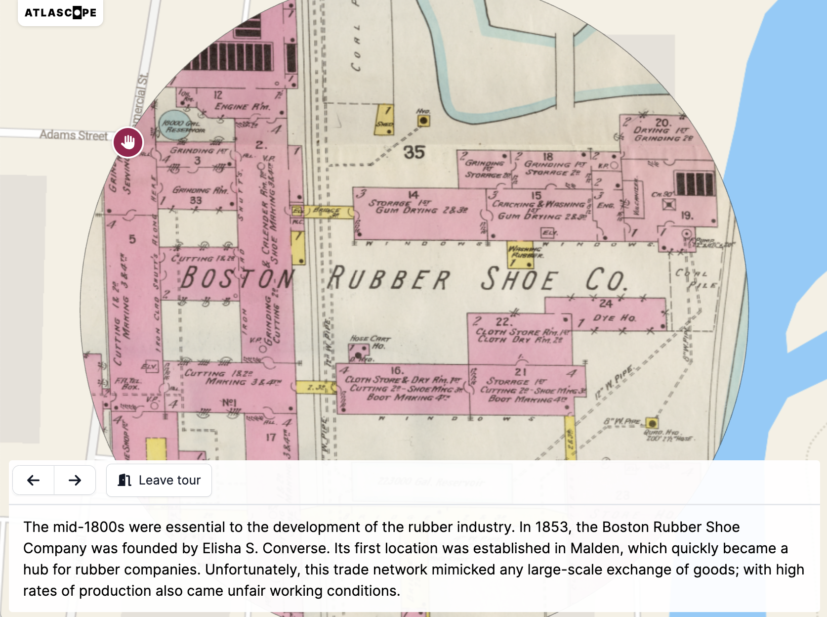
Three New Atlascope Tours
We have three new Atlascope Tours to share! Whether mapping out the sites of an influential photography collection, learning about changing university campuses, or uncovering the hidden history of Massachusetts’s role in the rubber industry, Atlascope Tours allow you—as either the creator or the tour-taker—to take a stroll through Boston history, exploring the city from the comfort of your couch and screen.

John Winthrop's "City on a Hill," Mapped
“Since landing in North America, the Puritan colonists had relied on the expertise of Indigenous peoples as they walked forests, farms, and pathways that Algonquian-speaking peoples had created. When the English got lost, Algonquians rescued them. When the English traveled, Algonquians guided them,” writes Nathan Braccio, Assistant Professor of History at Lesley University, in this new digital publication looking at Indigenous presence in one of the earliest maps of the Massachusetts Bay colony. This digital work is part of the Leventhal Center’s Small Grants for Early Career Digital Publications program.
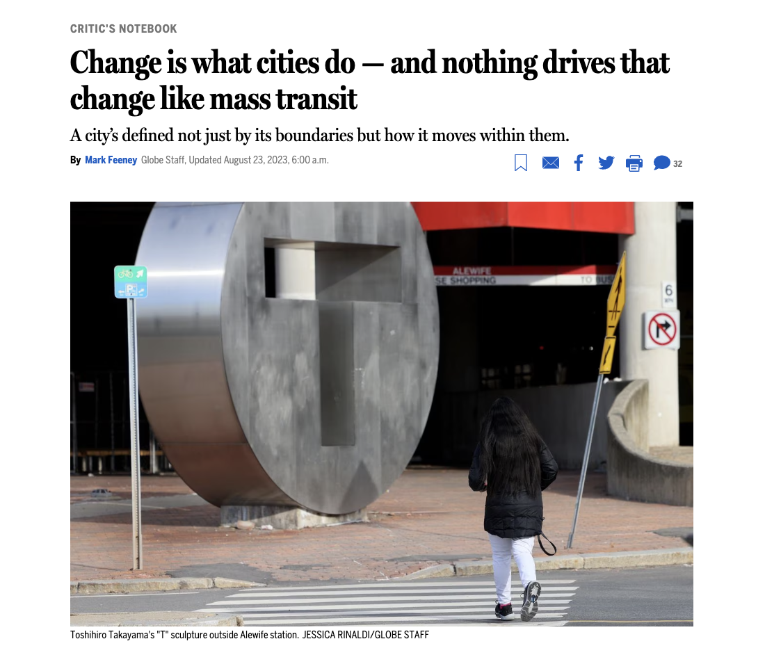
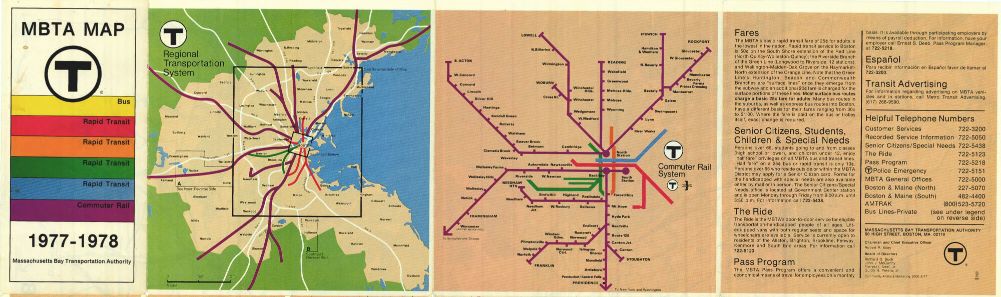
Featured in The Boston Globe • The Past and Present of Boston’s Transit Systems
“Boston’s circulatory system isn’t just red. It’s multi-colored: Red, Orange, Blue, Green, Silver. There’s Purple, too; don’t forget commuter rail,” writes Mark Feeney in this recent Boston Globe article on the past and present of Boston’s transit systems, featuring a handful of objects from our upcoming exhibition, Getting Around Town: Four Centuries of Mapping Boston in Transit.
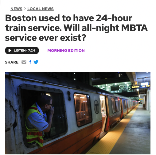
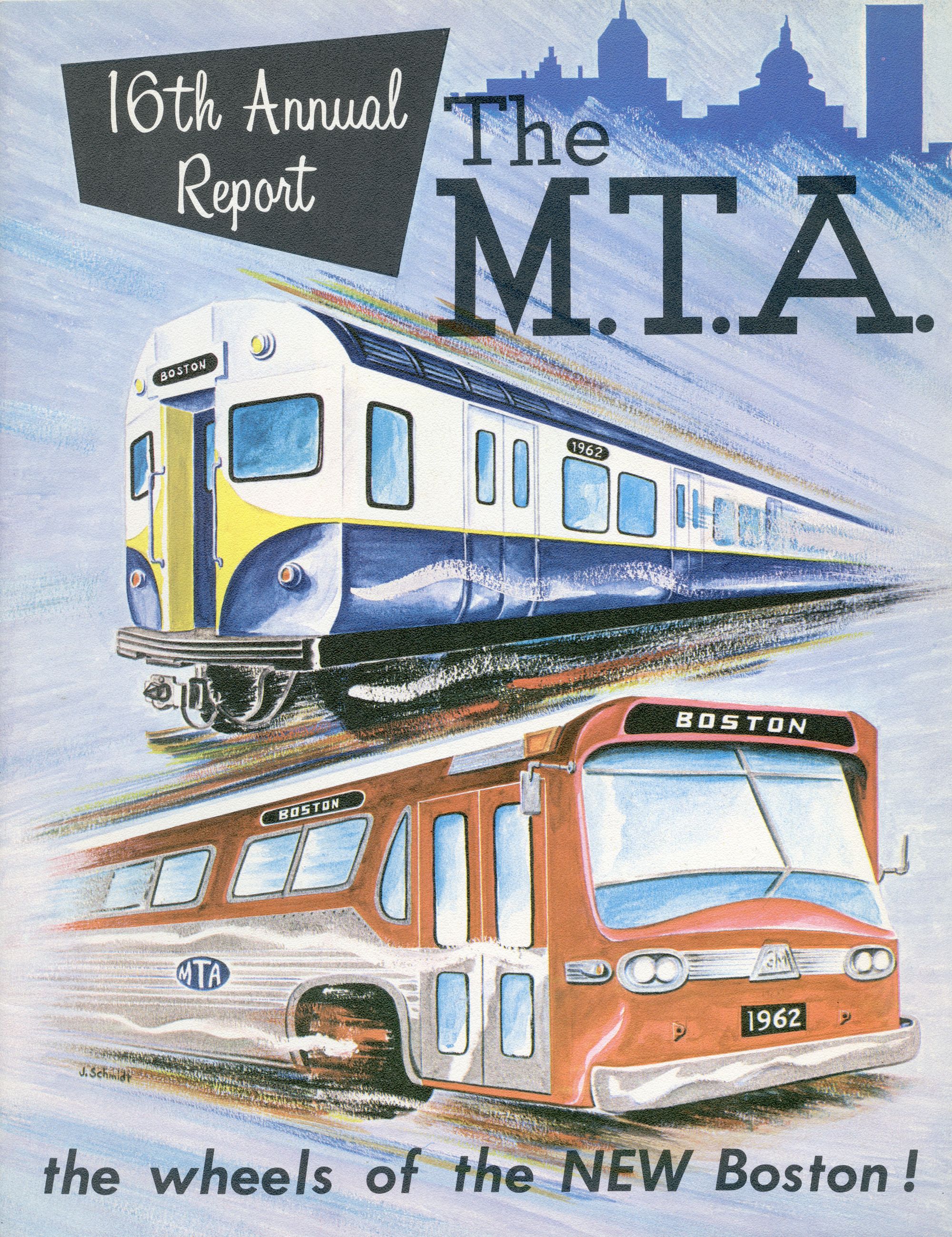
Featured in GBH News • Why Doesn’t Boston’s T Run 24/7?
Boston was a 24-hour transit city at the end of the nineteenth century, but what happened? To find out, GBH spoke with Steven Beaucher, author of Boston in Transit, operator of WardMaps and MBTAgifts, and guest curator of our upcoming exhibition, Getting Around Town: Four Centuries of Mapping Boston in Transit.
Civic Switchboard Grant
The Leventhal Center is excited to partner with Civic Switchboard on their Institute of Museum and Library Services grant to support training for library and archival professionals in areas that address the information needs of their communities. As part of the Civic Data Literacy for Libraries: A Civic Switchboard Institute project, the Center will host one of six regional institutes for library workers who are interested in developing civic data roles for their libraries.
The Leventhal Map & Education Center is an independent nonprofit. We rely on the contributions of donors like you to support our mission of preserving the past and advancing the future of maps and geography.
View this email in your browser
Leventhal Map & Education Center at the Boston Public Library
617.859.2387 · info@leventhalmap.org
{{SenderInfoLine}}