July 10, 2023

Scaling Up Atlascope
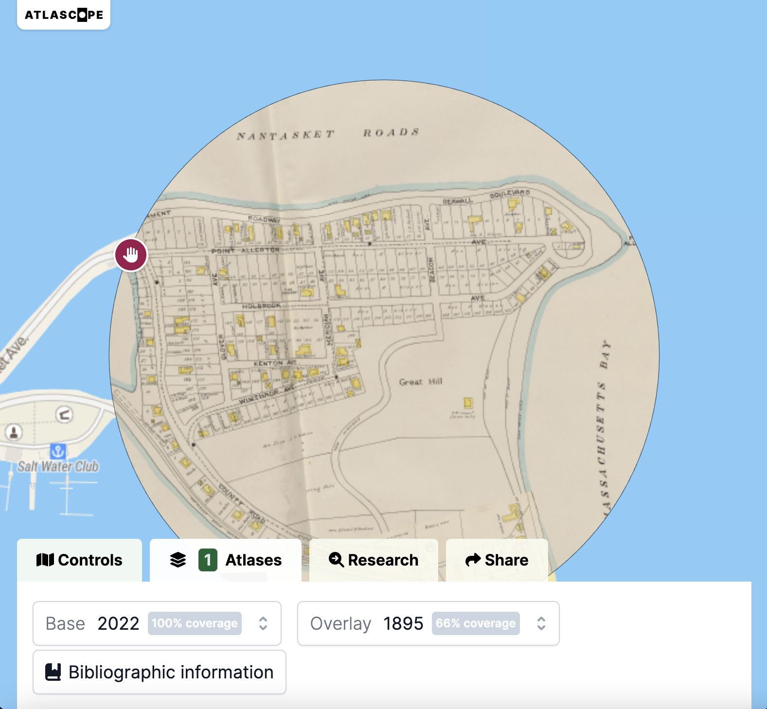
We’re excited to announce that we’ve added five new atlas layers to Atlascope, extending coverage to Dover, Hull, and Lynn! Urban atlases are excellent snapshots of the historic geographies of cities, showing an impressive level of detail for streets, buildings, and neighborhoods. Beyond that, these atlases provide jumping-off points for telling new stories about the world around us. Check out this selection of the kinds of stories you can find in the new Atlascope layers.
Want to see your town in Atlascope?
We’re continuing work this summer and fall to add dozens more Massachusetts towns to Atlascope. However, we need help from you and your communities to make this happen. Transforming a single town atlas from printed pages into a modern, computer-readable web-layer is both costly and time-consuming, taking dozens of hours of skilled staff labor. If you’d like to see your town in Atlascope, and you know institutions, groups, or community members who’d like to help gather the funding to support this, please visit this page for more information, or reach out directly to our Development Coordinator, Rachel Sharer.
Virtual: West End By Map · July 11, 12:00pm ET
What was Boston’s West End like in the 19th and 20th centuries? What schools and churches were around? Were any industries based in the area? Join the Leventhal Map & Education Center with the West End Museum and West End Branch Library for a virtual deep dive into the historical geography of the area. Come learn about how the community has changed over time, and discover how to research the history of your own house and neighborhood. This talk is free and open to the public. It will broadcast live to our Facebook page and YouTube channel.
Virtual: Meghan Cope on Geographies of Childhood · July 25, 12:00pm ET
What do maps—designed for or by children—reveal about the conditions, spaces, and places of childhood? What insights can be gained about the historical geographies of childhood from primary source material? Join us on Tuesday, July 25 at 12:00PM EDT with Meghan Cope for a virtual talk on the conditions and experiences of childhood in early 20th-century New England. This talk is free and open to the public. It will broadcast live to our Facebook page and YouTube channel.
Thank you for your support!
We did it! Thanks to the support of all of you, we were able to meet our goal of raising $10,000 by the end of June, unlocking an additional 10k in matching funds from a generous donor. These funds will help us shape our fall’s programs and activities, and we can’t wait to share these new and exciting initiatives with you. Thank you for being a part of our world.
The Leventhal Map & Education Center is an independent nonprofit. We rely on the contributions of donors like you to support our mission of preserving the past and advancing the future of maps and geography.
View this email in your browser
Leventhal Map & Education Center at the Boston Public Library
617.859.2387 · info@leventhalmap.org
{{SenderInfoLine}}


