April 3, 2023

A Curatorial Commentary on Building Blocks
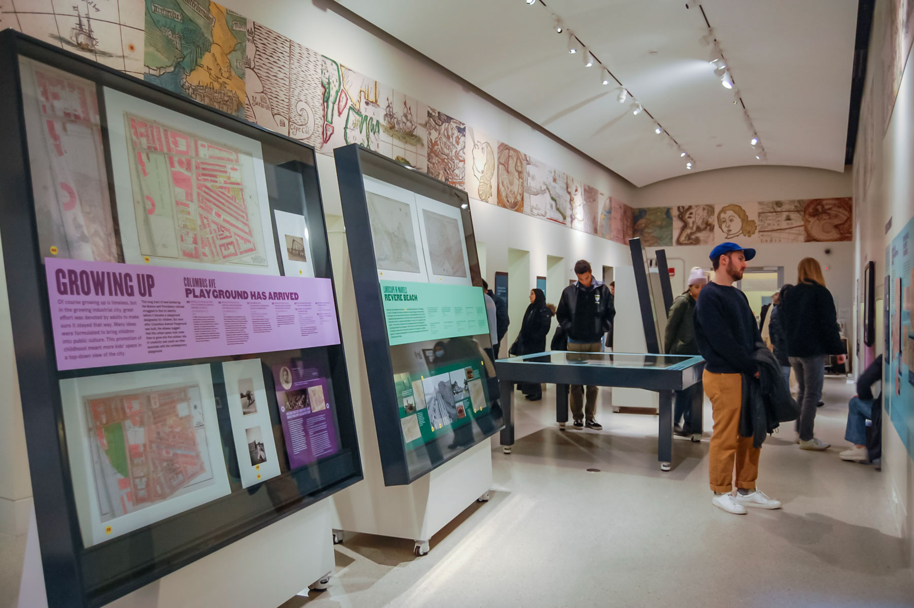
What makes a map readable? Exhibition Curatorial Fellow Laura Lee Schmidt reflects on the collection of urban atlases on display in our current exhibition Building Blocks and their cartographic legibility. Interested in learning more? Join the more than 12,000 people that have visited our gallery to see the urban atlases up close.
Virtual: Maps in the Classroom – American Revolution · April 6, 3:30pm ET
Hey, educators! Join our K-12 team to try out our Mapping the American Revolution lesson. We’ll examine period maps of Boston and New England to uncover information about the historical actors in the Revolution, the significance of geography, and the motives of the mapmakers. Take away a lesson you can teach right away in your classroom!
Get Maps in Your Mailbox
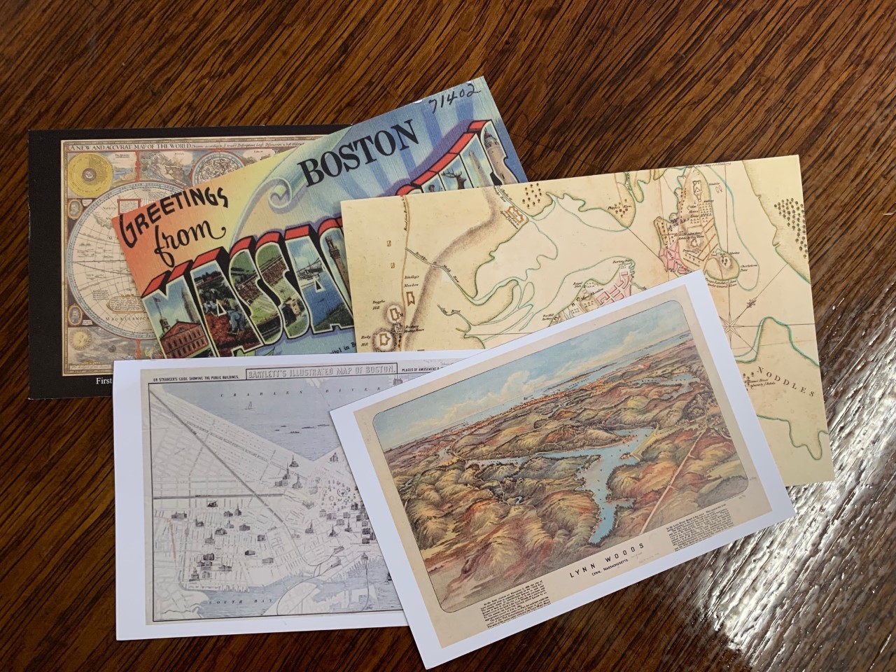
For just $12/month, our Map of the Month Club gives our recurring supporters more maps in their lives! Members receive monthly mappy postcards, as well as an opportunity to win a free map reproduction. In April, we’re picking four winners who can pick any map in our digital collections to have reproduced. Set up your monthly donation before April 10 to enter for this month!
How Do You Conserve Water?
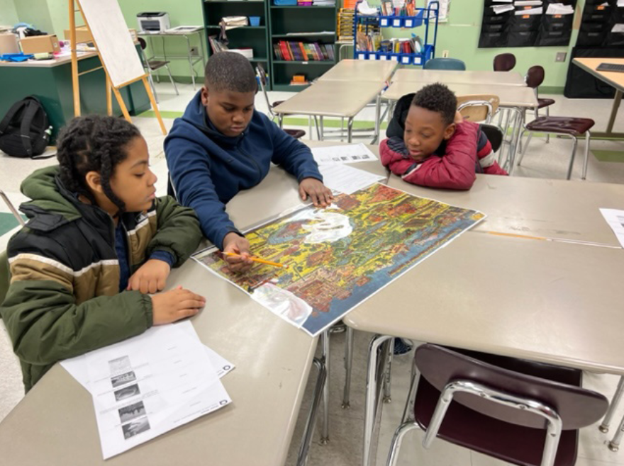
K-12 Education Manager Lynn Brown recently worked with students in teacher Jenn Dine’s classroom at the Mildred Avenue K-8 School on historic and contemporary water systems and water use. The students then visited the Waterworks Museum and submitted projects for MWRA’s Poster & Writing Contest on water conservation, linked below.
In-Person: Lower Mills By Map · April 10, 6:00pm ET
What was Lower Mills like in the 19th and 20th centuries? What schools and churches were found in the neighborhood? Were any industries based in the area? Join us at the Lower Mills Branch Library for a deep dive into the historical geography of the area. Come learn about how the community has changed over time, and discover how to research the history of your own house and neighborhood.
In-Person: Special Collections Sampler – Celebrate Shakespeare · April 4, 2:00pm ET
In honor of the 400th anniversary of the William Shakespeare’s First Folio, Special Collections invites you to explore Shakespeare throughout BPL collections! Join us on Tuesday, April 4 for a special open house where staff will be available to answer questions as you explore these items up-close, including an 1824 map of Shakespeare’s birthplace and cabinet cards of actors in Shakespeare plays.
The Leventhal Map & Education Center is an independent nonprofit. We rely on the contributions of donors like you to support our mission of preserving the past and advancing the future of maps and geography.
View this email in your browser
Leventhal Map & Education Center at the Boston Public Library
617.859.2387 · info@leventhalmap.org
{{SenderInfoLine}}


