More events

May
Urban Development and Community Resilience in Roxbury
exhibition Continued Conversations

May
Small Bites: Environmental Justice in Boston
K-12 Professional Development

May
Online
Apr 5, 2021
4:30 EDT
Free
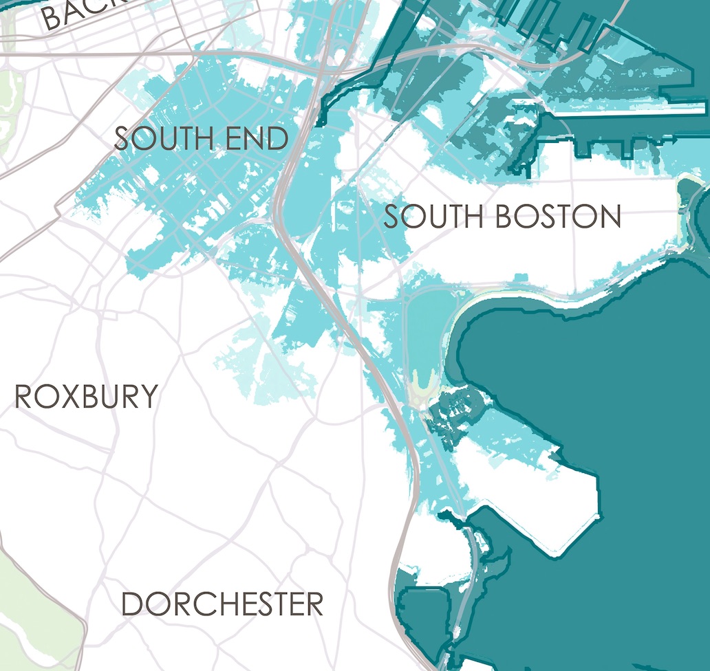
Have you ever wanted to make a map of data to explore and visualize the world around you, but didn’t know where to start? Our free three-part series, Making Sense of Maps & Data is a hands-on, interactive workshop that will equip you with the skills and techniques to begin working with geographic data, from small clusters of points on a neighborhood map to “big data” sets with millions of observations.
No prior experience is necessary. (In fact, if you’ve already done data analysis before, you’ll likely want to join one of our other workshops.) We’ll start off by thinking about the relationship between information, data, and maps. We’ll walk through the process of how to connect critical, inquiry-driven questions with available sources of data, and then how these data sets can be represented in visual symbols on a map. Throughout the process, we’ll be encouraging participants to engage with the ways that data can be dangerous or misleading if it’s not handled with care. You’ll also be working with the Leventhal Map & Education Center’s brand-new Public Data Portal. At the end of the three sessions, you’ll be able to find digital data sets, understand how to interpret them, and you’ll have all the basic tools for exploring the vast world of geospatial information.
These sessions will be delivered remotely. Participants should be able to commit to all three sessions in the sequence.
This project is supported by the Northeast Big Data Hub.


