- Jan 18, 2023
- Laura Lee Schmidt
A Curatorial Commentary on Building Blocks: Boston Stories from Urban Atlases
Exhibition Curatorial Fellow Laura Lee Schmidt dives into our ongoing Building Blocks exhibition
Read more
Exhibition Curatorial Fellow Laura Lee Schmidt dives into our ongoing Building Blocks exhibition
Read more
How did Korean cartography evolve in the Joseon period? Explore this interactive Map Chat from the MacLean Collection to learn more about a fascinating collection of atlases.
Read more
One-sixth of Boston sits on land that was once tidal estuaries, shallow marshes, and mud flats.
Read more
Our gallery will see an exciting new change in 2023
Read more
A behind the scenes look at the process of georeferencing
Read more
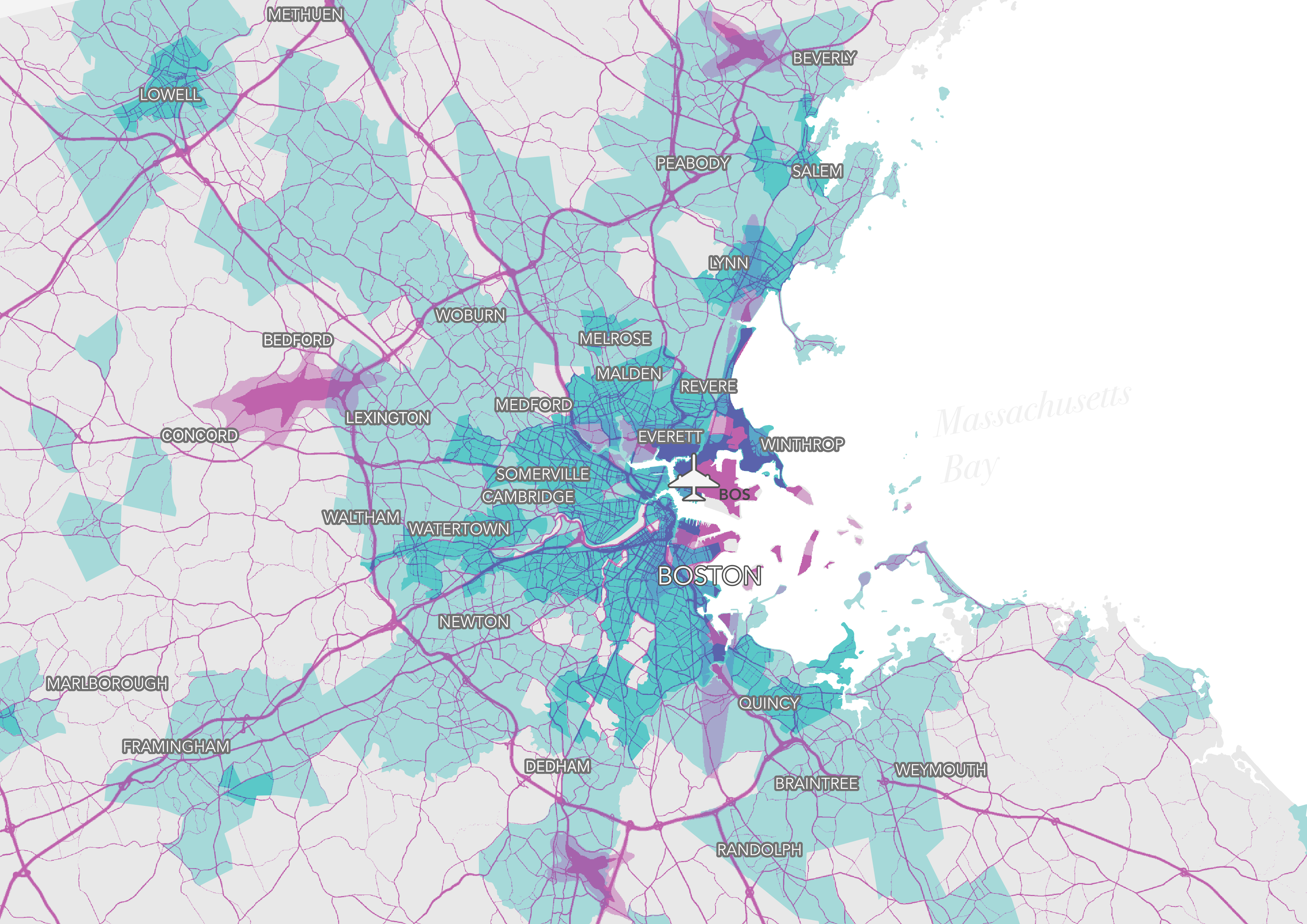
How noise pollutes even when nobody's listening
Read more
Silly games can open new windows into map collections
Read more
A new logistics center in Revere tells a familiar story and poses the question: how inextricable is land use from the land itself?
Read more
Submit your cartographic work for a chance at prize money & exhibition in the LMEC's digital collections!
Read more
East Boston was once home to one of Fredrick Law Olmsted's parks, now it contains Logan Airport. How did this neighborhood change?
Read more